Vaughan
Under Construction
Proposed / Approved
Water
Roads
Existing
Parks
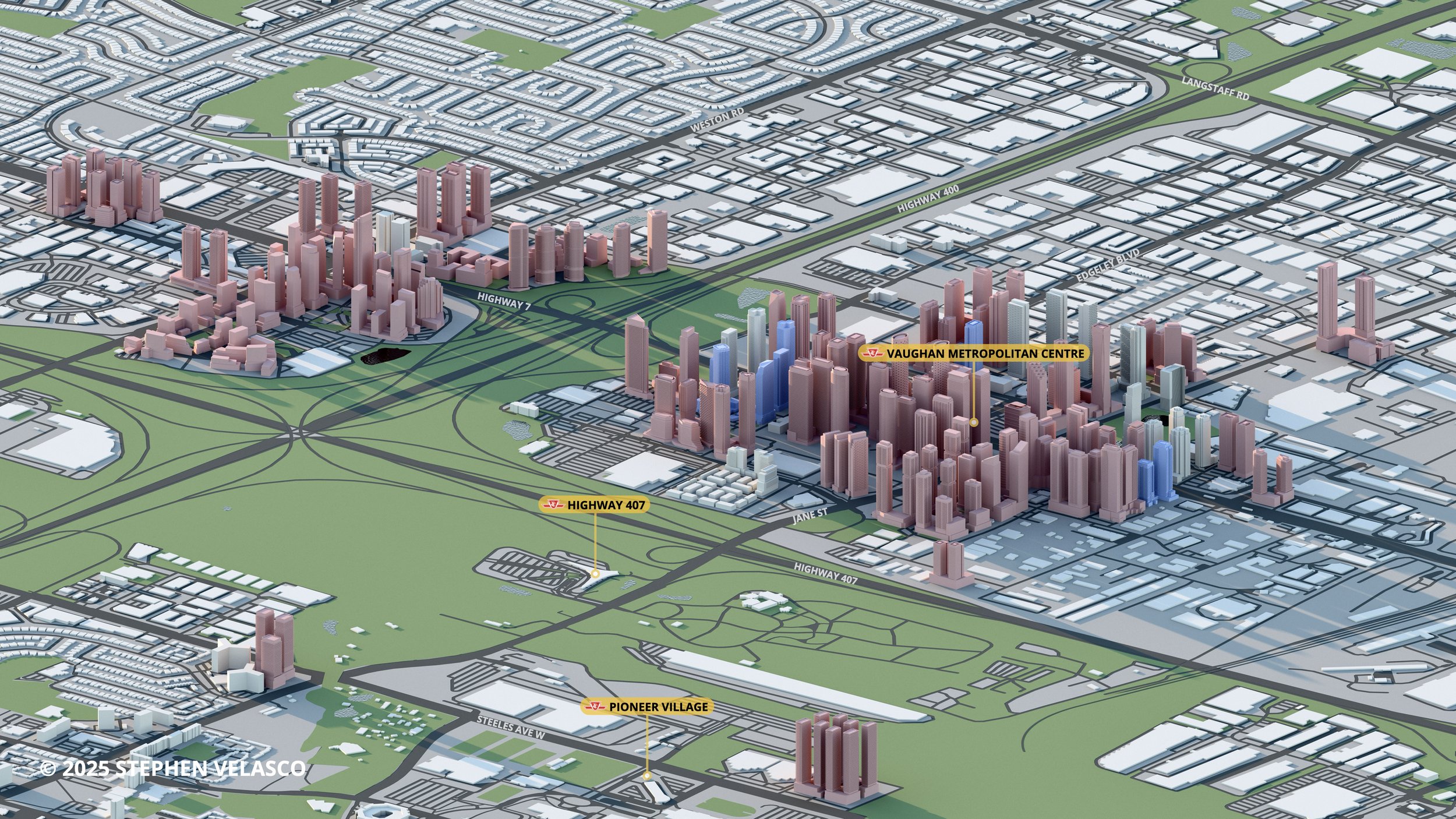
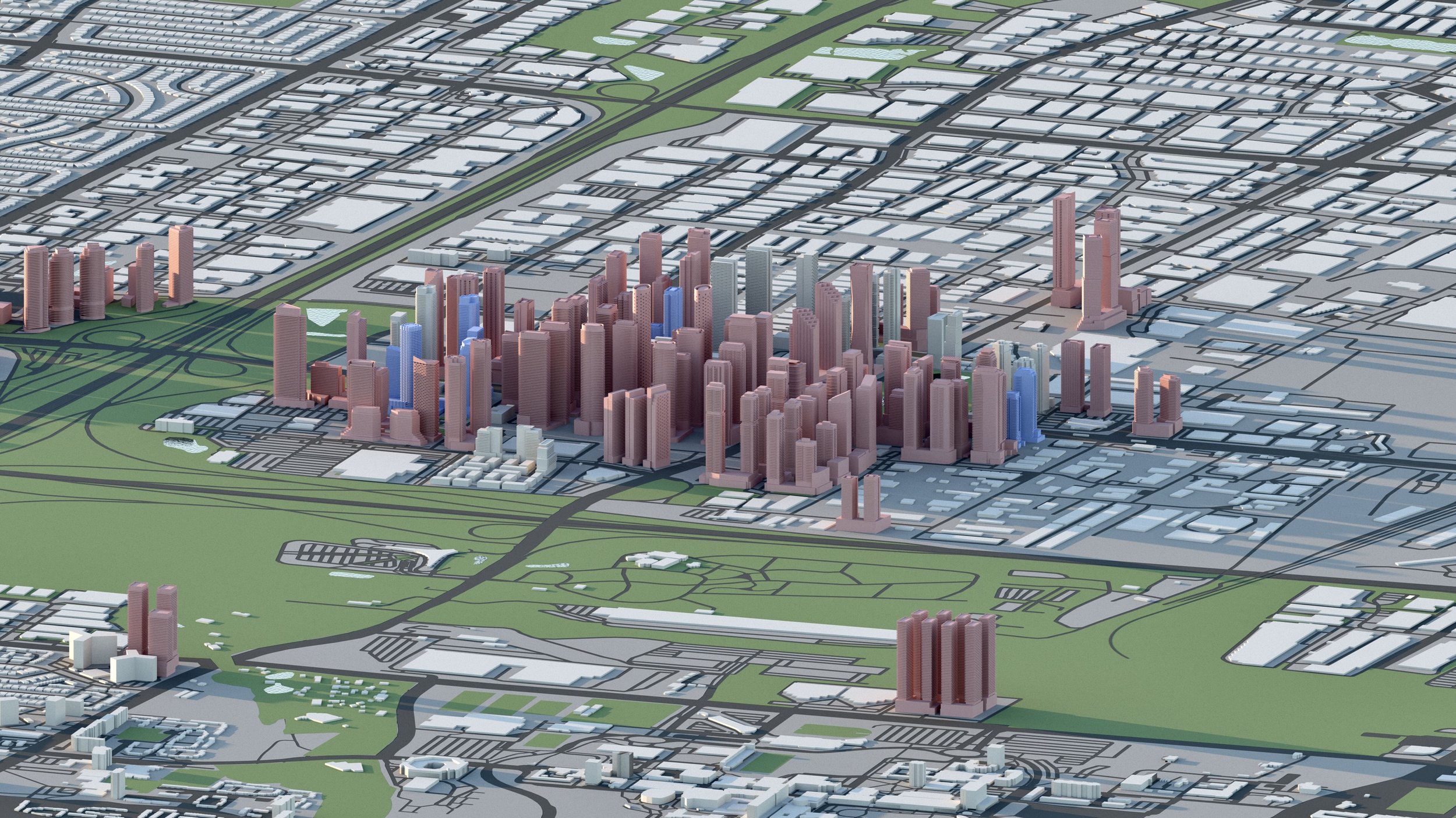
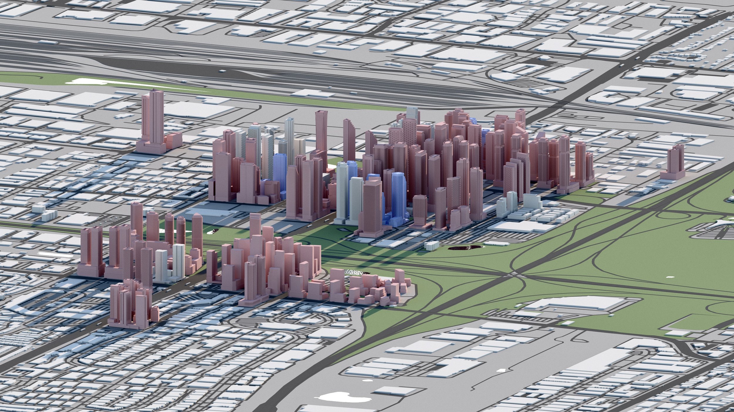
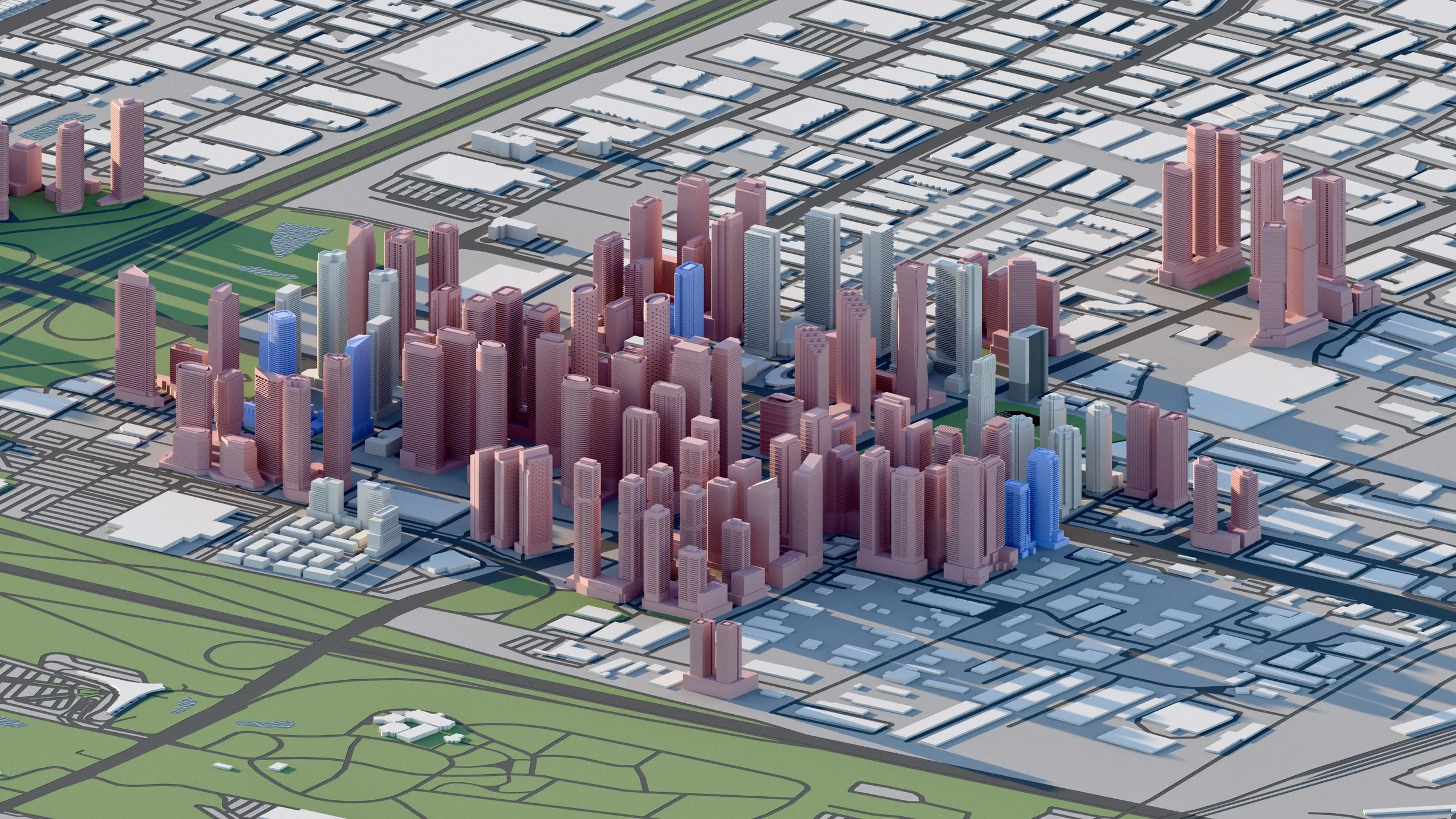
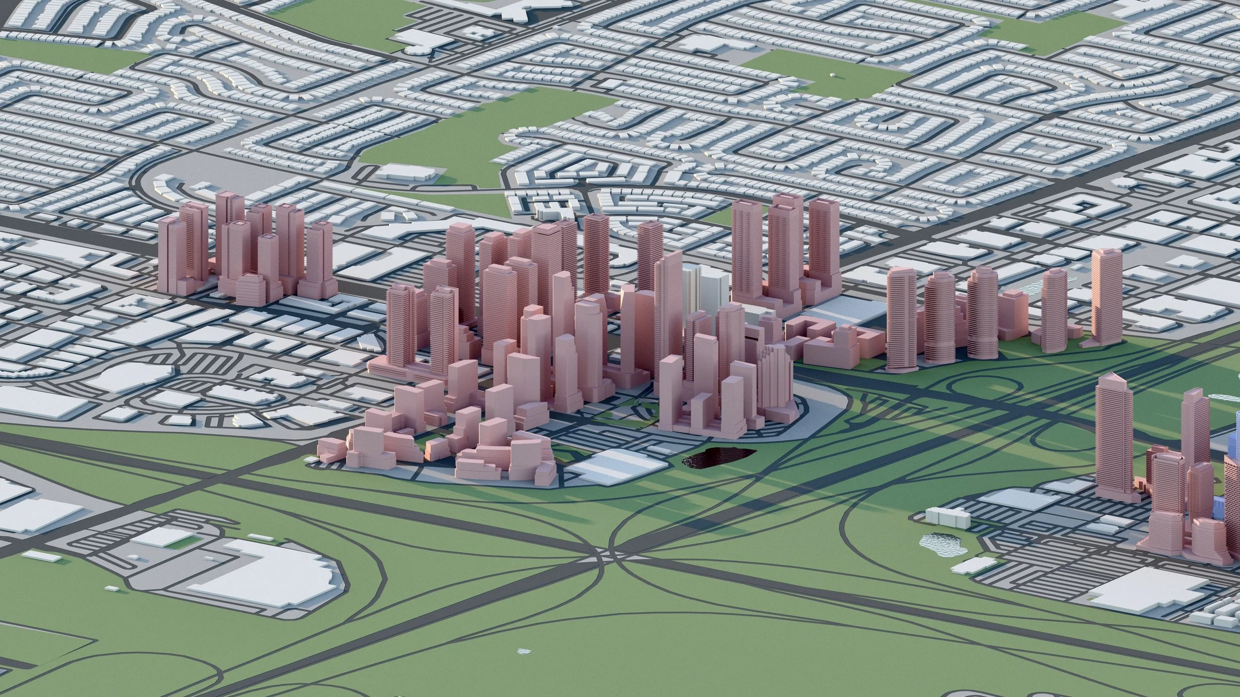
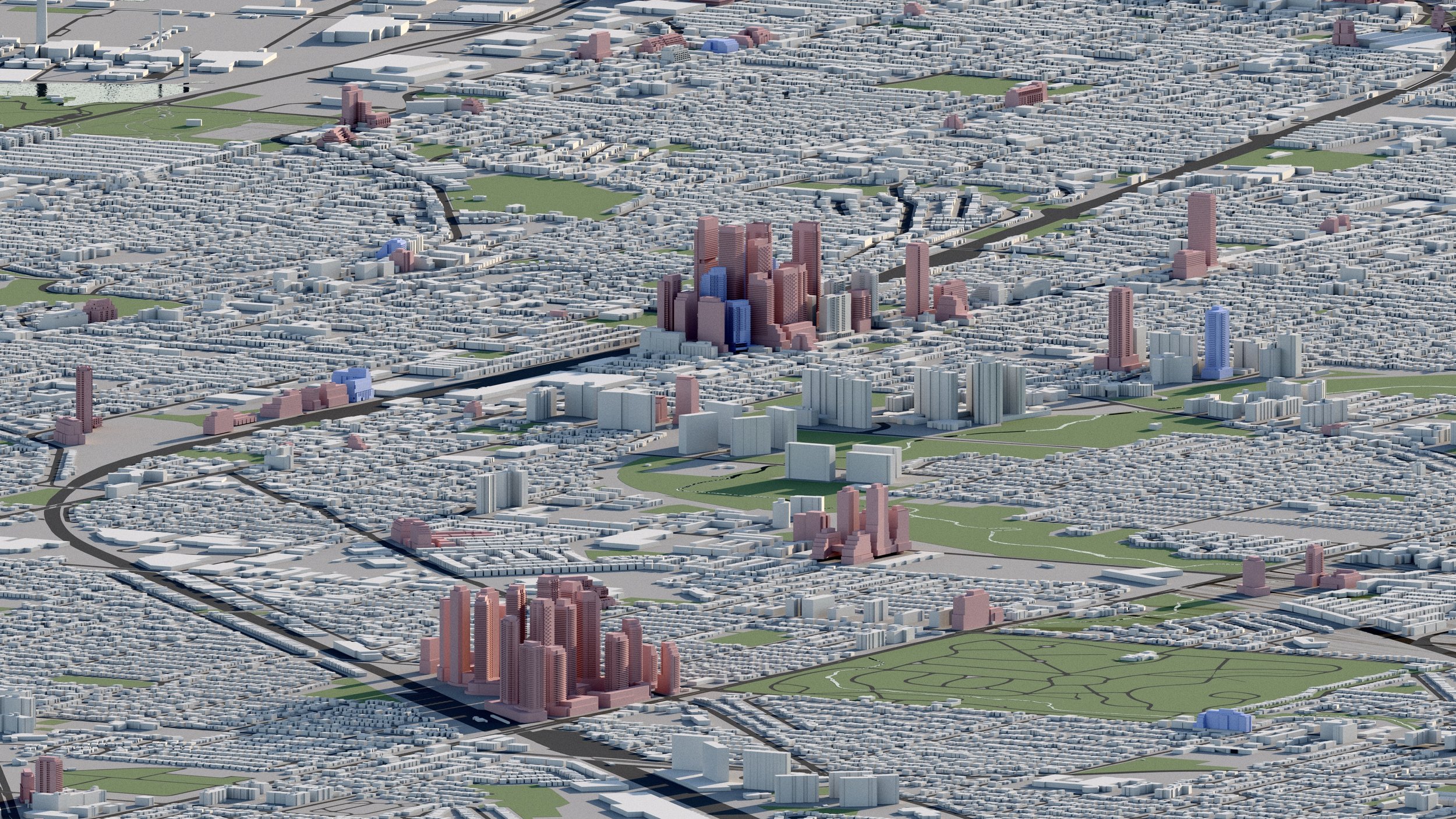
Vaughan Metropolitan Centre
Over 46,000+ residential units are planned surrounding Vaughan Metropolitan Centre (VMC), including towers up to 74 storeys.
An additional 29,000+ units are in development further west at Highway 7 & Weston Road.
The area is serviced by Vaughan Metropolitan Centre Station along TTC Line 1.

-
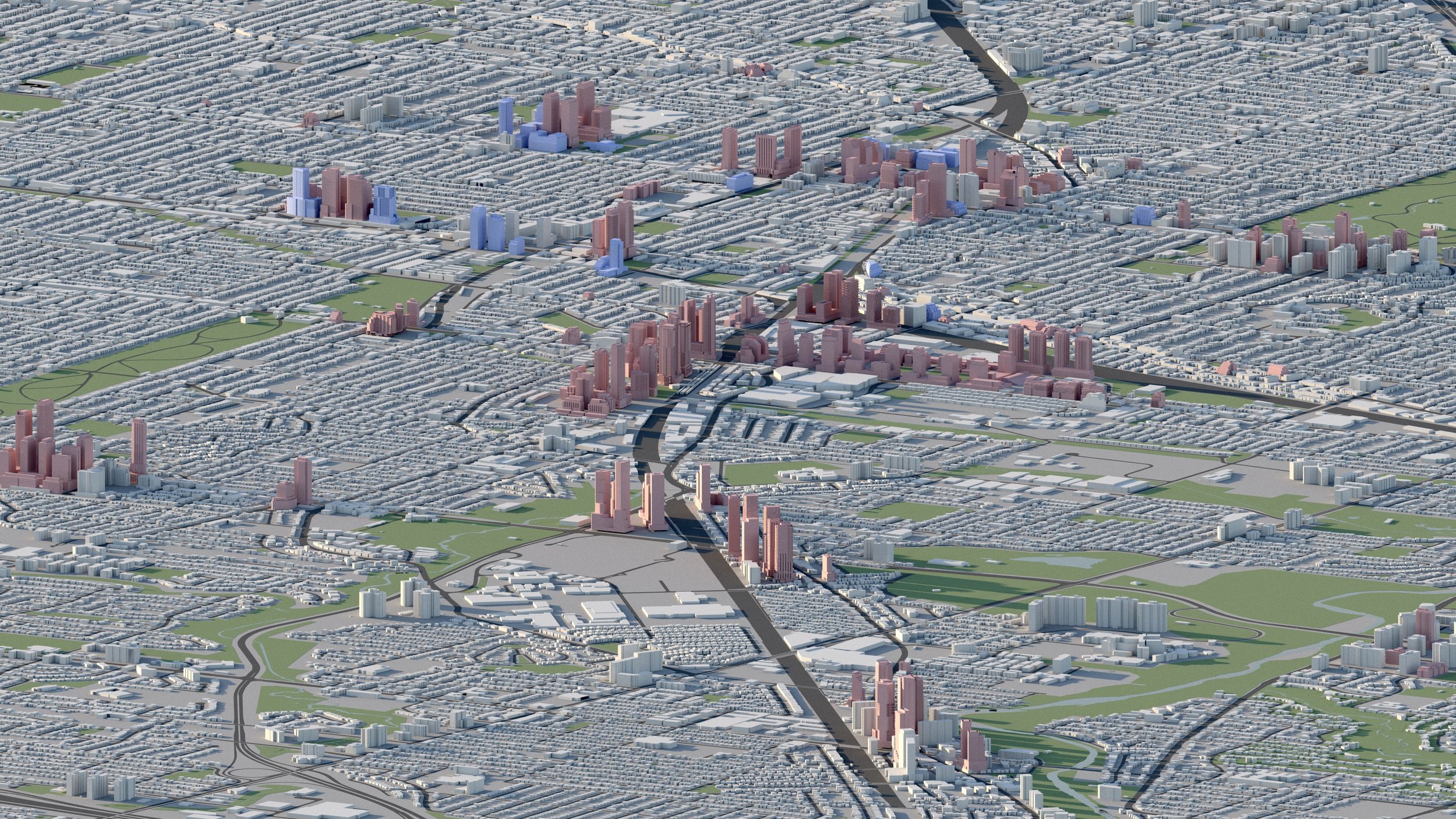
Vaughan Metropolitan Centre
46,000+ RESIDENTIAL UNITS
Over 46,000+ residential units are planned surrounding Vaughan Metropolitan Centre (VMC), including towers up to 74 storeys. The area is serviced by Vaughan Metropolitan Centre Station along TTC Line 1. -
Highway 7 and Weston
30,000+ RESIDENTIAL UNITS
Over 30,000+ residential units are in development surrounding Highway 7 and Weston Road.
Explore the city
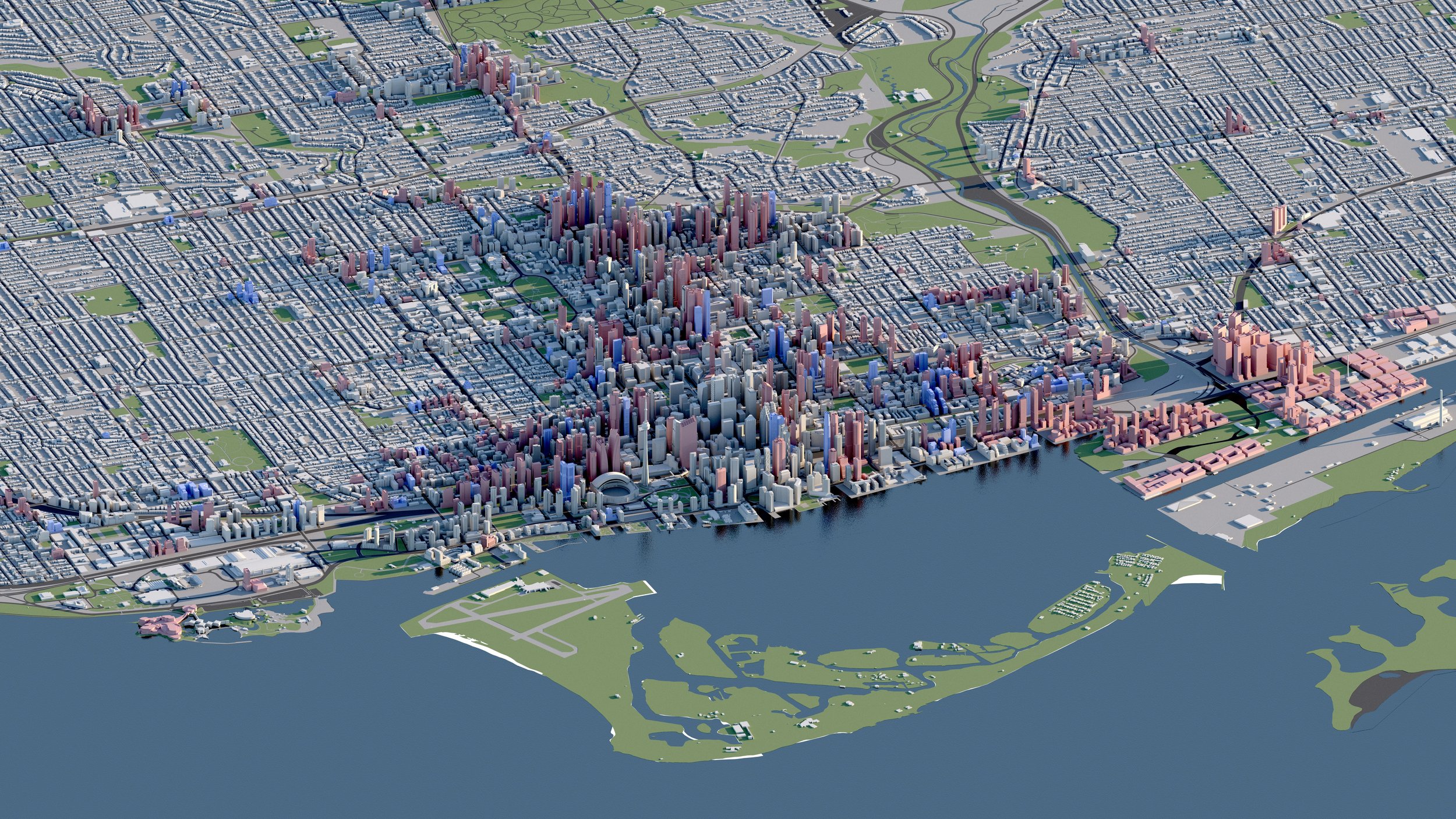
Downtown
Midtown

North York

Scarborough
Etobicoke
East York
West Toronto