York / West Toronto
Under Construction
Proposed / Approved
Water
Roads
Existing
Parks
York / West Toronto
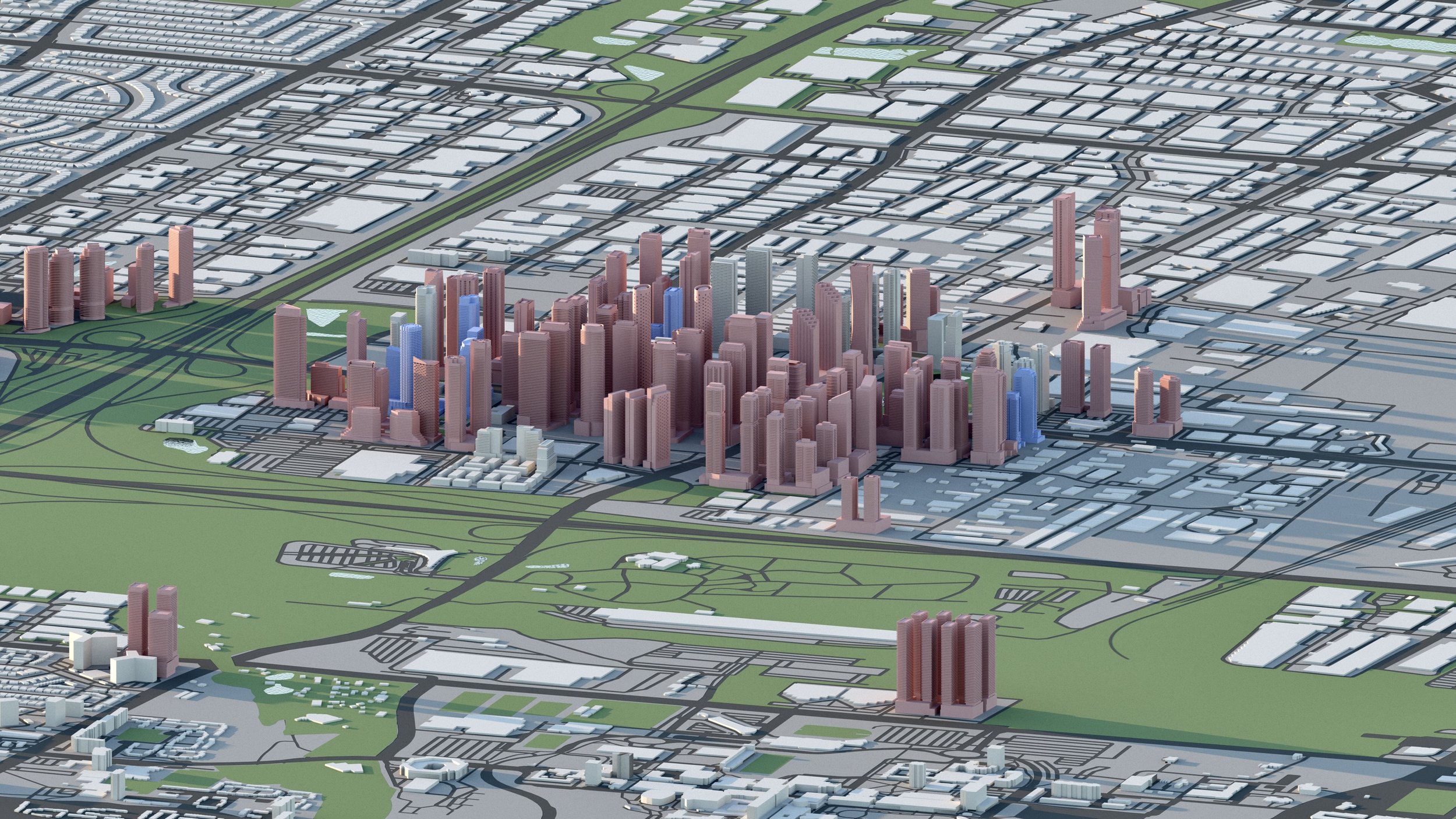
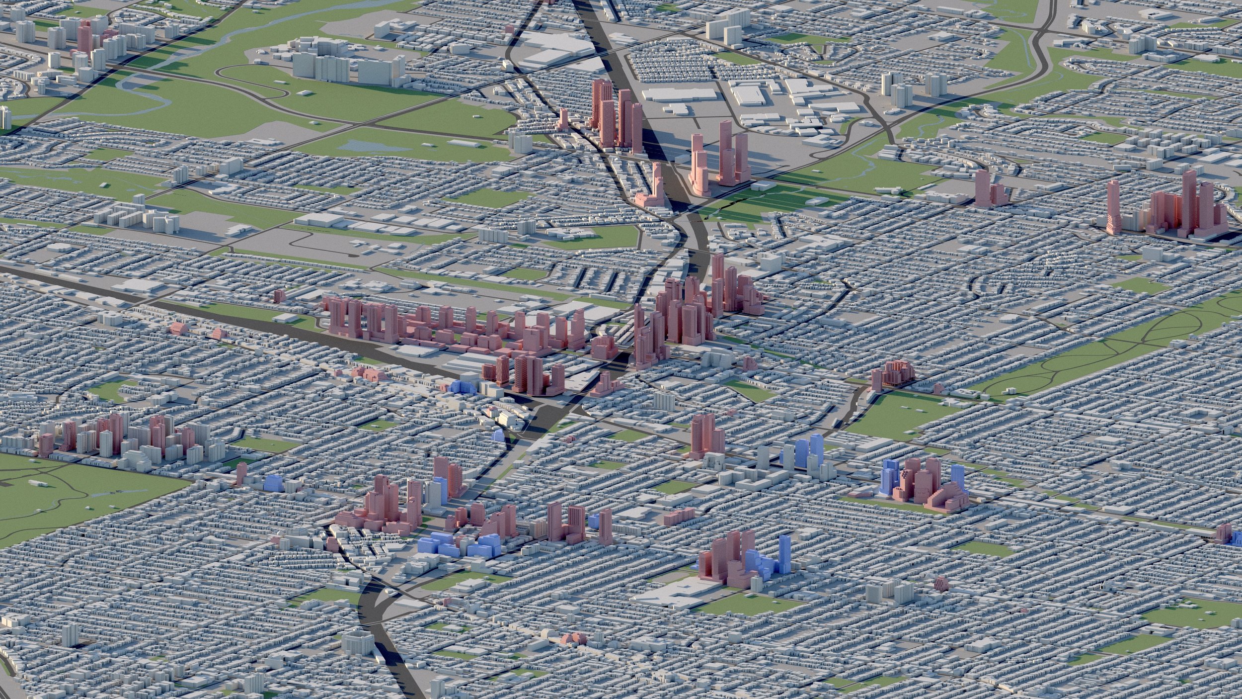
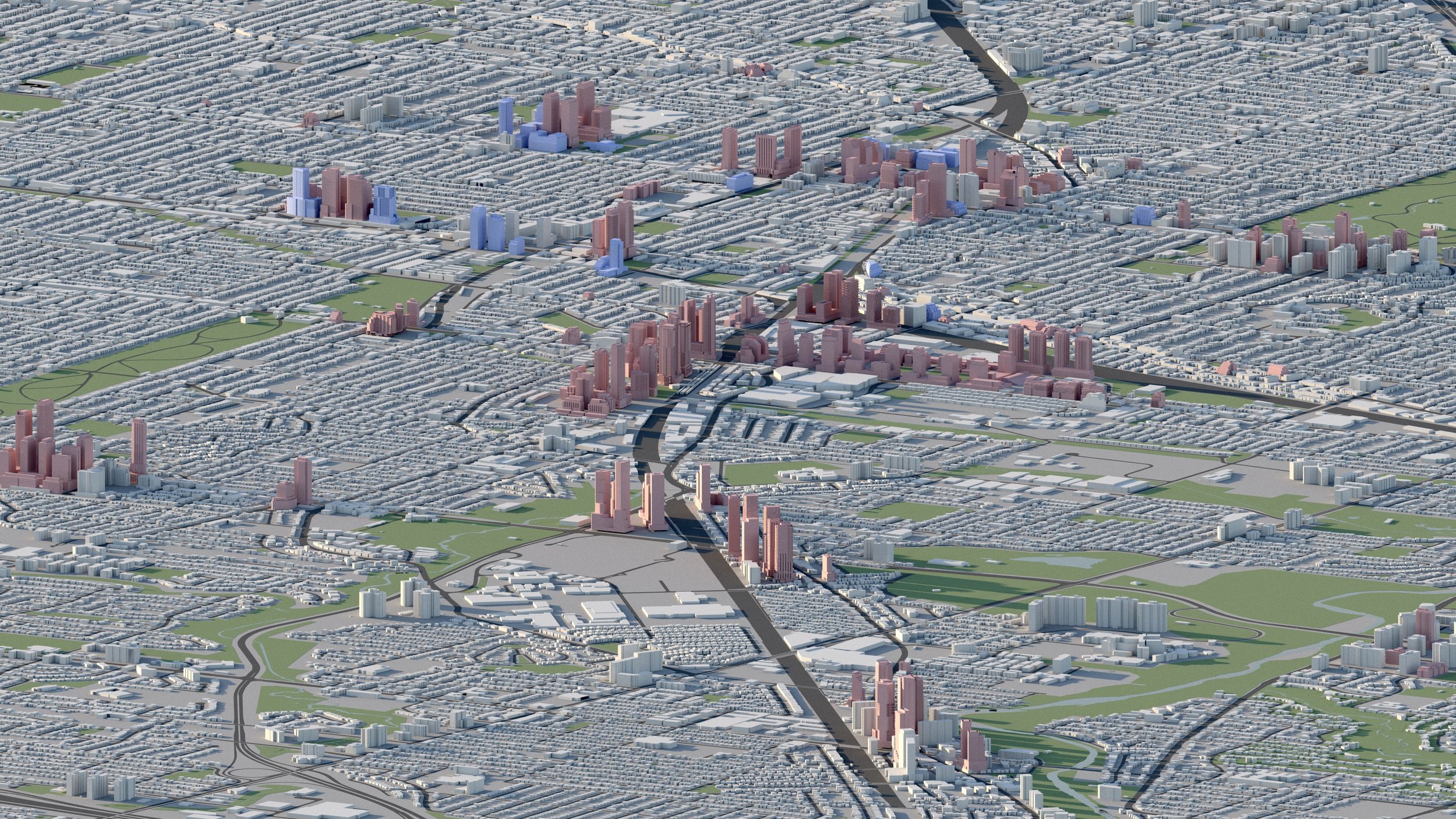
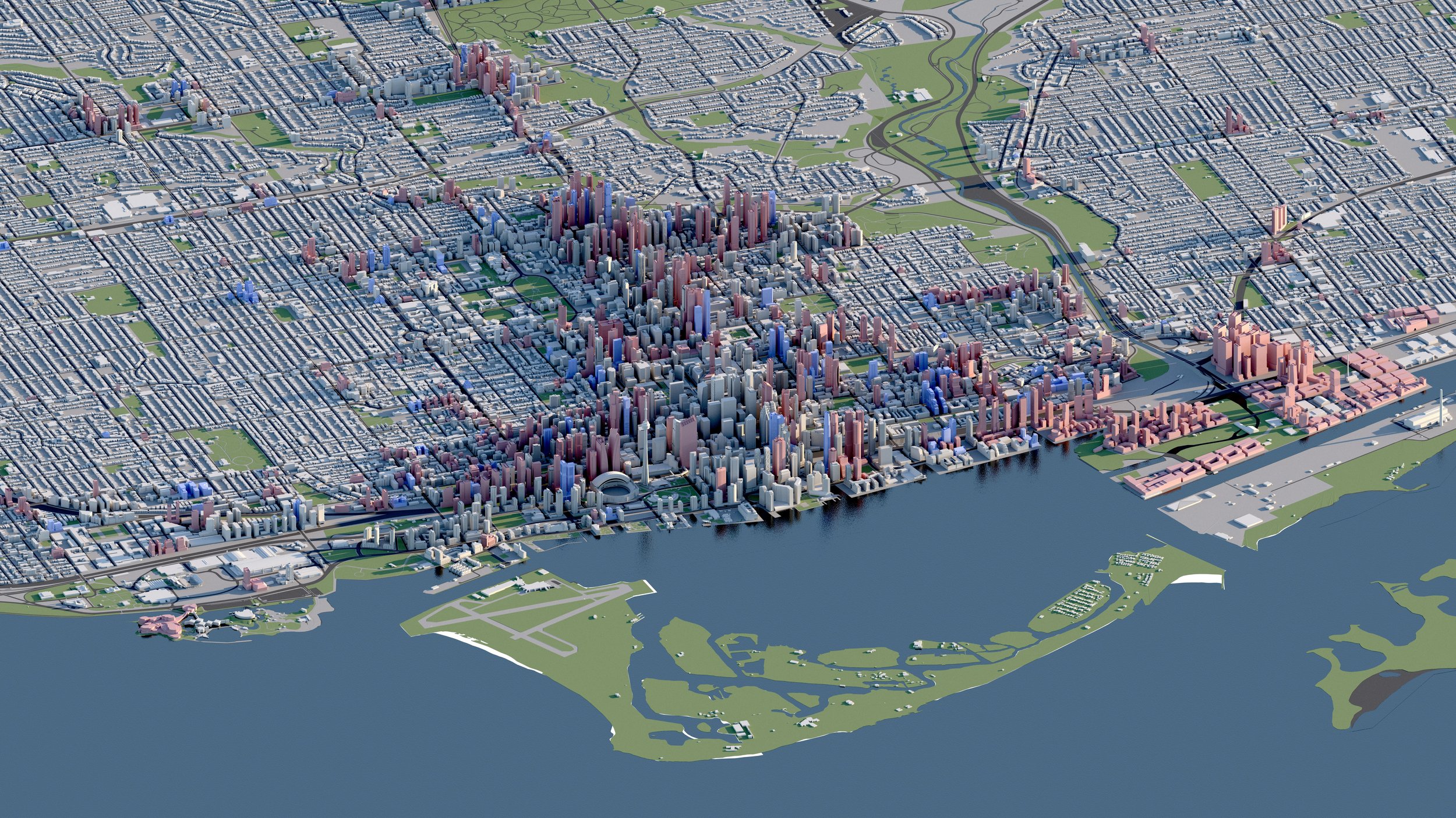
A significant amount of development activity is occurring within Major Transit Station Areas (MTSAs) in Toronto’s West End surrounding TTC, GO, and UP Express stations.
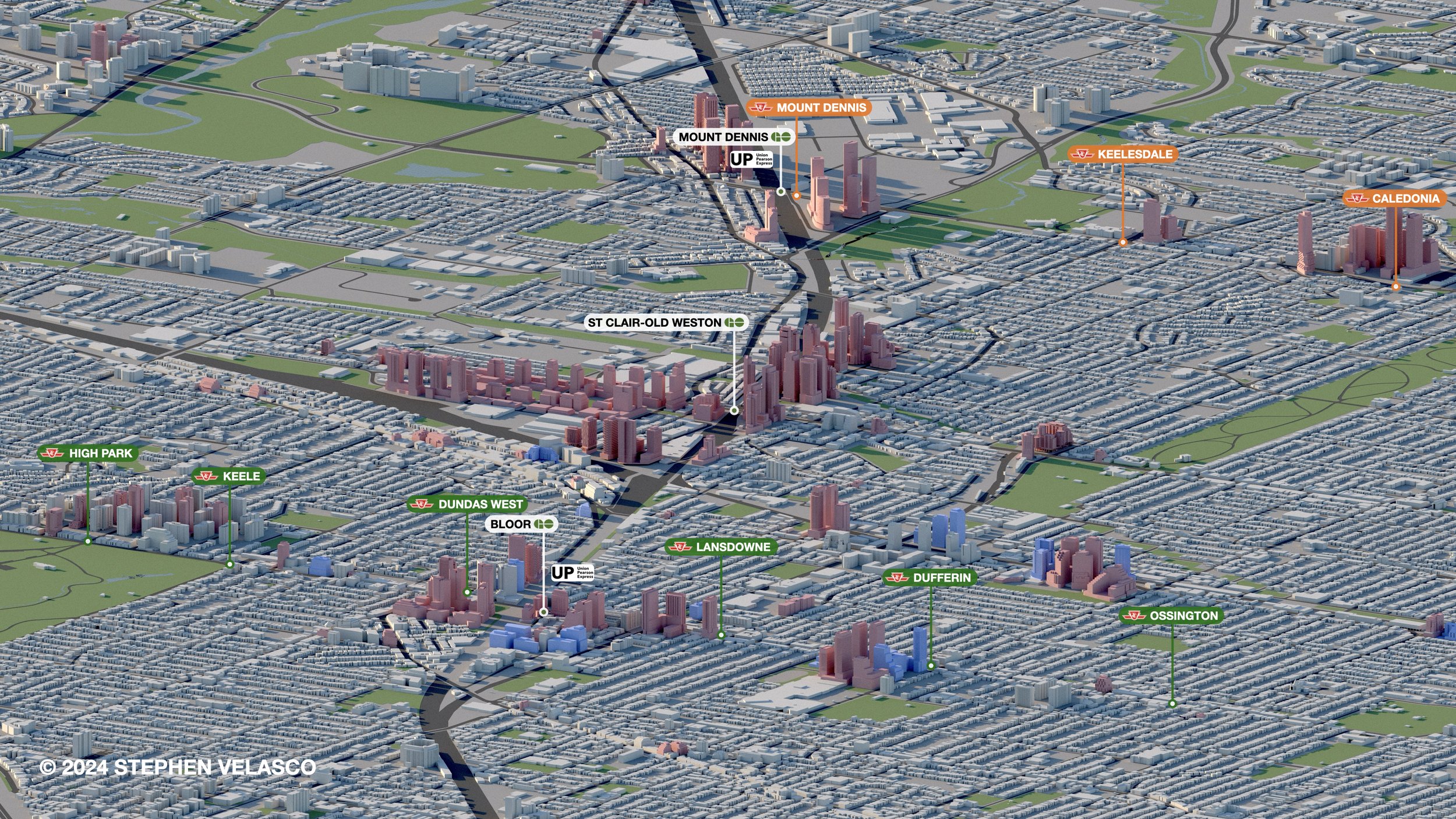
Notable areas of intensification include Bloor-Dundas, Keele-St. Clair, and Mount Dennis.
-

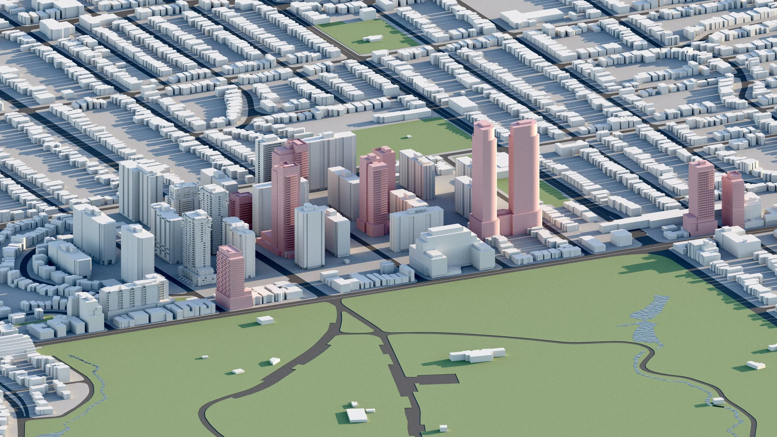
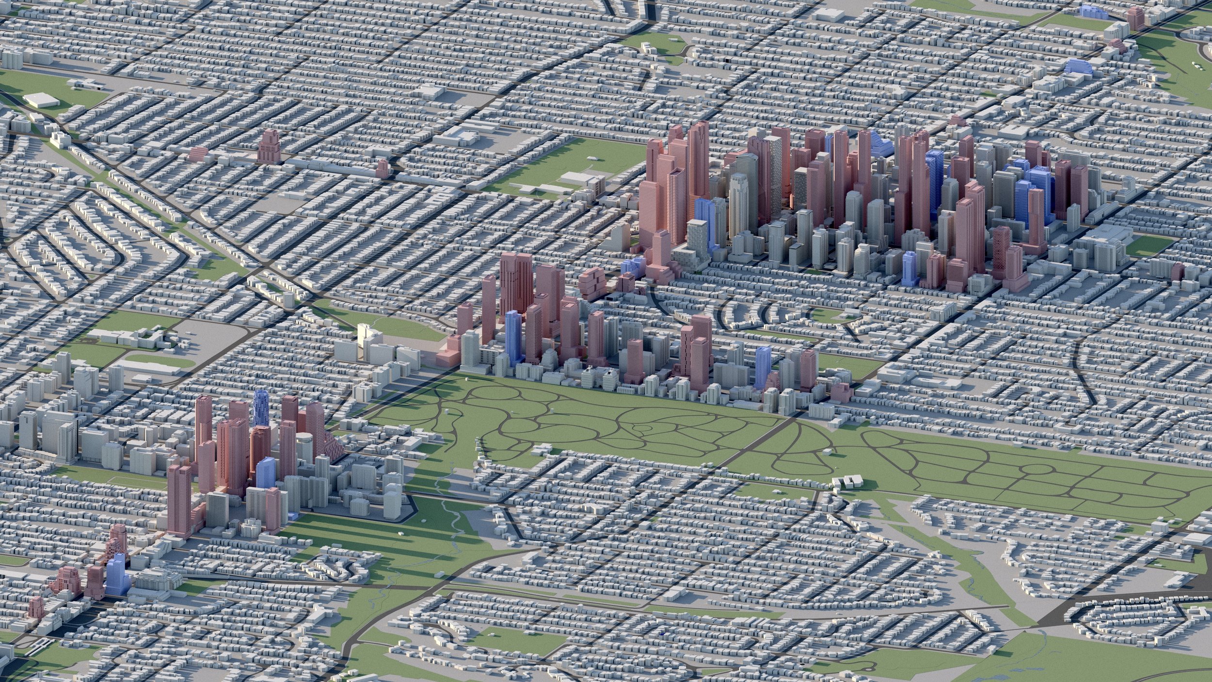
Bloor-Dundas West
7,100+ RESIDENTIAL UNITS
More than 7,100 residential units are in development surrounding Bloor-Dundas West, the second most well connected transit node in Canada with connections to TTC Line 2, UP Express, and GO Transit. -
High Park
2,400+ RESIDENTIAL UNITS
A number of infill developments planned for Toronto’s High Park neighbourhood, where more than 2,400 residential units are planned, including towers up to 41 storeys.
-
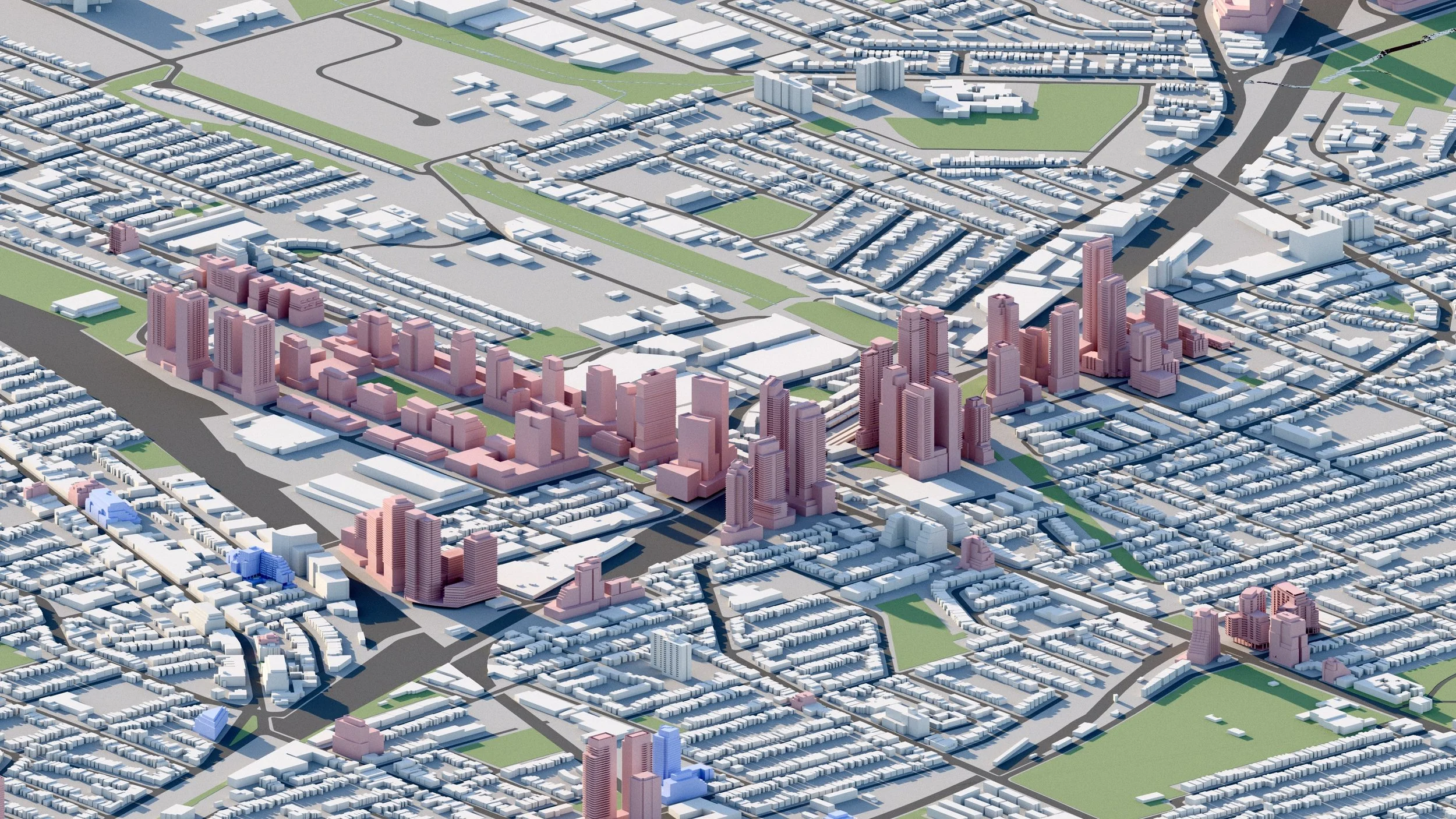
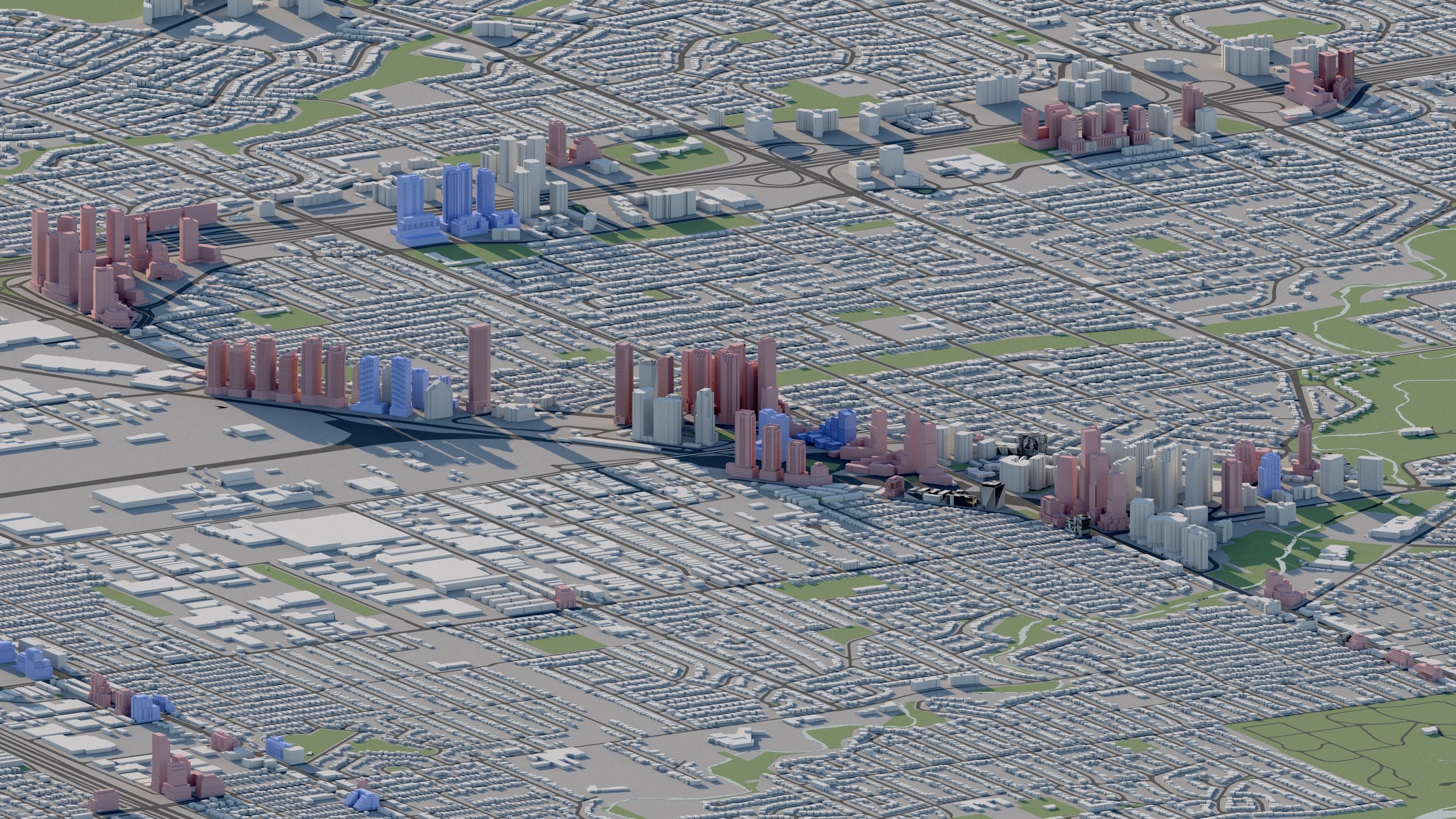
Stockyards District / Keele-St Clair
15,000+ RESIDENTIAL UNITS
Over 15,000 residential units are in development surrounding the Stockyards at Keele and St Clair. The area will eventually be serviced by the St Clair-Old Weston GO Station.
-
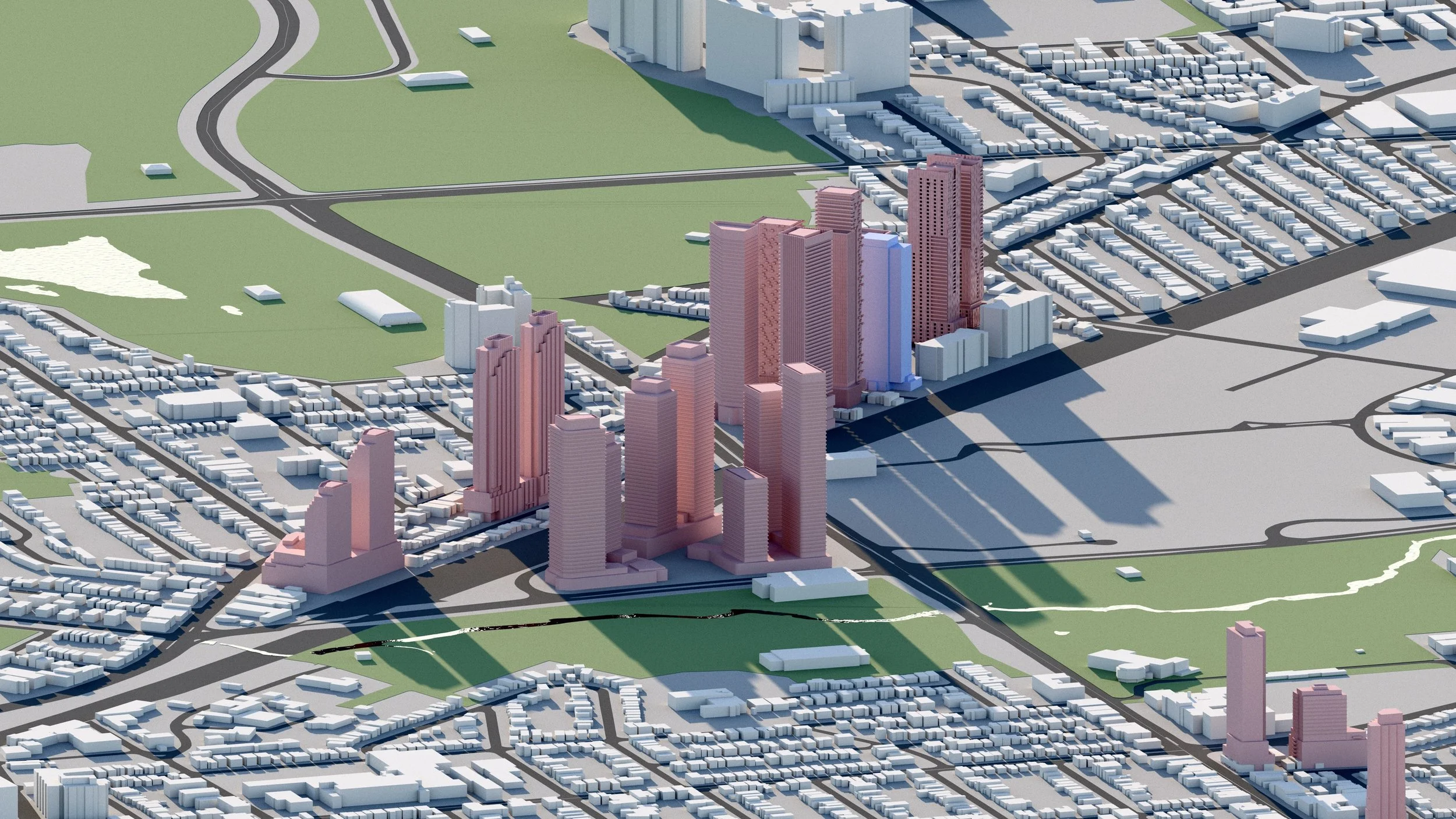
Mount Dennis / Weston-Eglinton
8,600+ RESIDENTIAL UNITS
Approximately 8,600 residential units are planned in Toronto’s Mount Dennis neighbourhood, including towers up to 48 storeys. Located near the intersection of Weston-Eglinton, the area is well connected to number of local and regional transit services including the Eglinton Crosstown LRT and GO Transit.
-

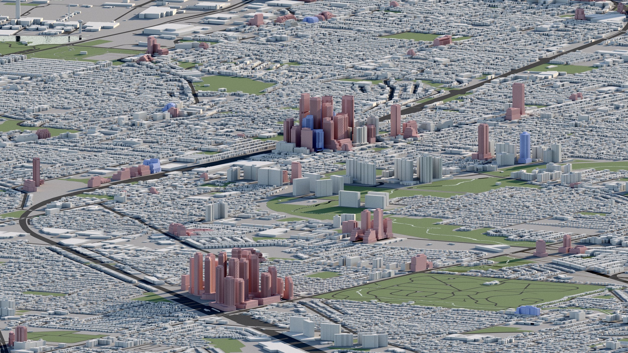
Lawrence-Weston
4,800+ RESIDENTIAL UNITS
Over 4,800 residential units are planned surrounding the Lawrence-Weston intersection. The area is serviced by nearby Weston GO and UP Express Stations.
-
Dufferin-Eglinton
5,500+ RESIDENTIAL UNITS
Over 5,500 residential units are planned or under construction surrounding the Dufferin and Eglinton intersection, including towers up to 50 storeys.
-

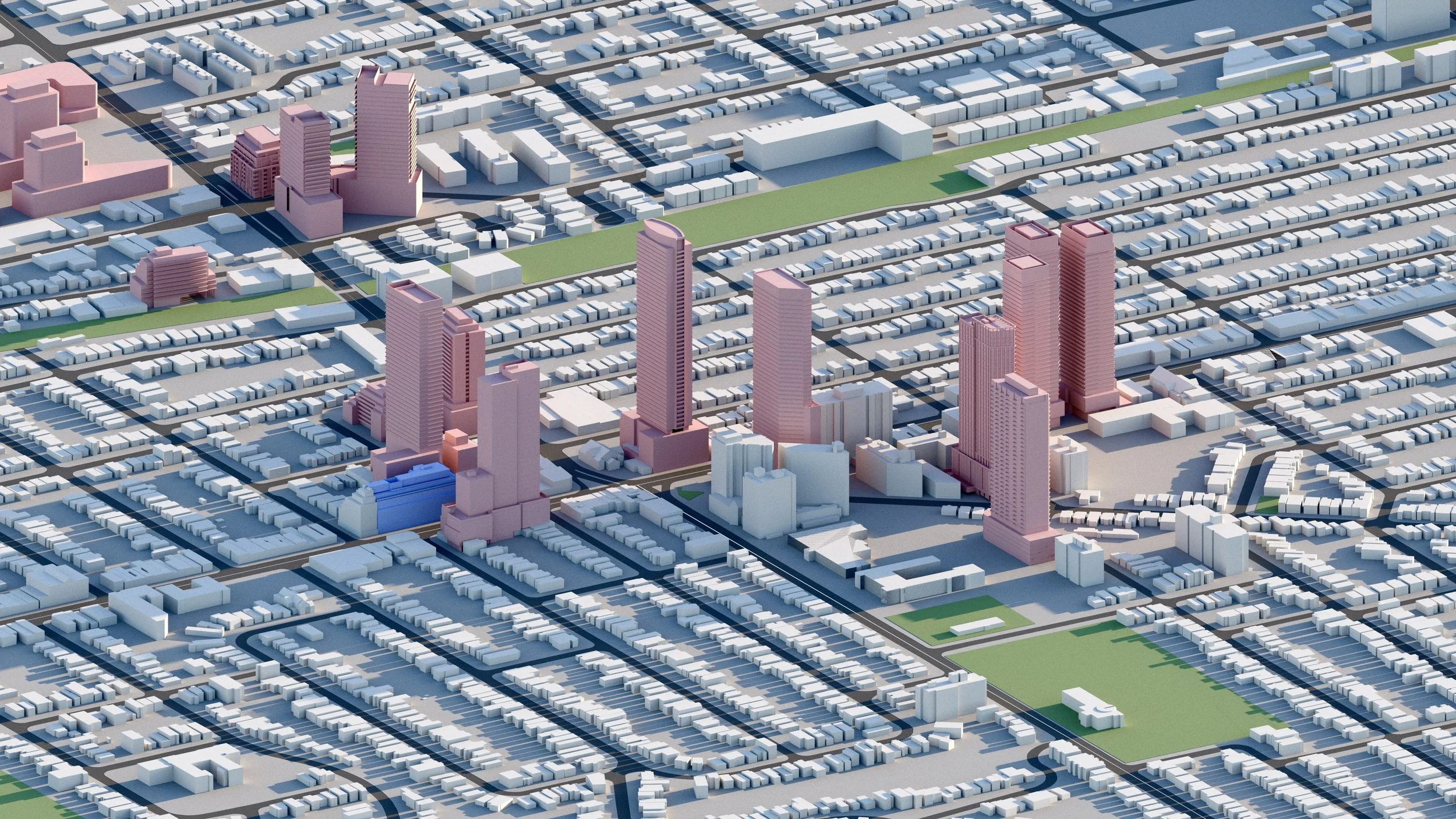
Caledonia-Eglinton
7,000+ RESIDENTIAL UNITS
Approximately 7,000 residential units are planned surrounding Eglinton Ave West and Caledonia Road intersection, including towers up to 60 storeys.
Explore the city
Downtown
Midtown

North York

Scarborough
Etobicoke
East York
West Toronto